Teaching kindergarten students about the Earth is an essential part of their education. As young learners begin to understand their place in the world, introducing them to simple concepts related to Earth can spark curiosity and promote environmental awareness. This article focuses on various lines on Earth for kindergarten, covering essential topics such as the equator, lines of latitude and longitude, and other fundamental geographical features. We’ll also include personal experiences to illustrate how these concepts can be taught effectively to young children.
Understanding Lines on Earth
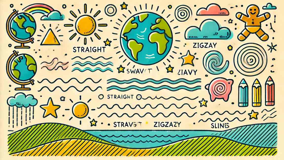
Before diving into specific lines on Earth, it’s crucial to explain to kindergarteners why these lines matter. They help us locate places, understand the Earth’s layout, and learn about different climates and cultures. Using simple language and visual aids will make these concepts accessible and engaging for young learners.
1. The Equator
Description:
The equator is an imaginary line that divides the Earth into the Northern and Southern Hemispheres. It is located equidistant from the North and South Poles, making it a significant reference point on the globe.
Key Points for Kindergarteners:
- Visual Representation: You can describe the equator as a big belt around the middle of the Earth. Using a globe, point out where the equator lies, emphasizing how it encircles the Earth horizontally.
- Warm Climate: Explain that the equator is the warmest part of the Earth. This area is home to tropical rainforests, where many plants and animals thrive due to the warm weather and abundant rainfall.
- Geographical Diversity: You can also talk about countries located along the equator, like Brazil, Kenya, and Indonesia, and what makes them special.
Activity Idea:
Create a large circle in the classroom representing the equator. Use a rope or a long piece of string to illustrate this line, and have children sit or stand around it. Discuss how countries near the equator, like Brazil and Kenya, have different climates compared to those farther away, like Canada. This visual and physical representation helps solidify their understanding of the concept.
Personal Experience:
I introduced the concept of the equator during a geography unit using a large globe. The children were fascinated to learn that places along the equator are often warm and full of life. They enjoyed drawing tropical plants and animals to represent this region, making the learning experience memorable.
Also Check: Preschools in Mumbai
2. Lines of Latitude
Description:
Lines of latitude are imaginary lines that run parallel to the equator. They help us locate places on Earth based on their distance from the equator.
Key Points for Kindergarteners:
- Parallel Lines: Explain that latitude lines are like steps on a ladder, going sideways around the Earth. They are measured in degrees, with the equator at 0° latitude and the poles at 90°.
- Geographical Significance: You can describe how latitude affects climate. For example, areas closer to the equator (like the Tropics) tend to be warmer, while areas near the poles are colder.
- Real-World Examples: Use a globe to show examples of important lines of latitude, such as the Tropic of Cancer (23.5° N) and the Tropic of Capricorn (23.5° S), and explain their significance in relation to the seasons.
Activity Idea:
Create a “latitude ladder” on the classroom wall using colored tape to mark different lines of latitude, labeling them with simple words. Encourage students to place pictures of animals or plants that live at these latitudes next to the corresponding lines. For instance, you might include a polar bear for the Arctic region and a tropical flower for the equatorial region.
Personal Experience:
I found that visualizing lines of latitude helped my students grasp the concept more easily. We used colorful pictures of animals like penguins in Antarctica and monkeys in the tropics, which engaged their interest and made learning fun.
3. Lines of Longitude
Description:
Lines of longitude run from the North Pole to the South Pole. They help us locate places based on their distance east or west of the Prime Meridian.
Key Points for Kindergarteners:
- Vertical Lines: Describe longitude lines as being like slices of a pizza, going up and down the Earth. They are also measured in degrees, with the Prime Meridian at 0° longitude running through Greenwich, England.
- Global Positioning: Explain how longitude helps us understand time zones, as the Earth is divided into 24 time zones based on these lines.
- Fun Facts: Share interesting facts about specific longitudes. For example, the International Date Line is located at 180° longitude, where the date changes.
Activity Idea:
Use a large inflatable globe and have children take turns finding places by their longitude. As they point to a location, ask them to describe what they see or what might live there. This interactive approach will help them understand how longitude works while making it a fun, engaging activity.
Personal Experience:
Using the inflatable globe during lessons on longitude made the concepts more tangible for my students. They enjoyed exploring different countries and were excited to learn how lines of longitude help us find places on maps.
Also Check: Preschools in Pune
4. The North and South Poles
Description:
The North and South Poles are the two ends of the Earth’s axis, where lines of longitude converge.
Key Points for Kindergarteners:
- Cold and Icy: Explain that the North Pole is at the top of the Earth and is very cold and covered in ice, while the South Pole is at the bottom of the Earth, where penguins live in a similarly chilly environment.
- Unique Animals: Discuss the types of animals that live in these polar regions, such as polar bears in the Arctic and penguins in Antarctica. This helps children connect the concept of the poles to real-life examples.
- Seasonal Differences: You can also talk about how the poles experience extreme seasonal changes, including 24 hours of daylight in summer and complete darkness in winter.
Activity Idea:
Create a polar habitat in the classroom using cotton balls for snow and pictures of polar animals. Discuss how different animals adapt to live in such cold places. Engage students by asking them to describe what they think life would be like for these animals.
Personal Experience:
When we focused on the polar regions, my students loved learning about the unique animals that live there. They created paper penguins and drew their own versions of polar landscapes, which encouraged their creativity and made the learning experience enjoyable.
5. Maps and Globes
Description:
Maps and globes are essential tools that represent the Earth. They show us where different places are located and help us understand the concept of distance.
Key Points for Kindergarteners:
- Understanding Maps: Explain that maps are flat pictures of the Earth, while globes are round and show the Earth’s surface accurately.
- Navigation Basics: Discuss how maps can help us find directions and explore new places. You can introduce simple map symbols to show things like parks, schools, and roads.
- Fun Activity: Use a world map or globe to play a game where children point out where they live, or name countries they have learned about.
Activity Idea:
Set up a map-making activity where students create their own simple maps of their classroom or home. Encourage them to include landmarks, such as where the toys are or where they eat lunch. This hands-on project reinforces their understanding of spatial relationships and navigation.
Personal Experience:
Creating maps allowed my students to apply their understanding of geographical concepts. They took pride in showcasing their maps, and it sparked discussions about directions and locations within our classroom and school.
6. Climate Zones
Description:
Introduce children to the concept of climate zones, which are areas of the Earth with similar weather patterns.
Key Points for Kindergarteners:
- Different Climates: Explain the different climate zones, such as tropical, temperate, and polar. Discuss how each climate supports different types of plants and animals.
- Weather Patterns: Talk about how the weather differs in these zones, using visuals to illustrate tropical rainforests, deserts, and tundra regions.
- Interactive Learning: Use pictures of animals and plants from each climate zone to engage students and encourage them to identify where these species live.
Activity Idea:
Create a “Climate Zone Wall” where students can add pictures of plants and animals that live in different climates. Use colored paper to represent different climate zones and encourage students to research or draw examples, which they can then share with the class.
Personal Experience:
When discussing climate zones, I had my students create a collage with images of various environments. It was exciting to see them learn about the diversity of life on Earth and how climate affects habitats. The collaborative nature of the project allowed them to learn from one another while fostering a sense of teamwork.
Also Check: School Parent app
7. Earth Day Projects
Description:
Integrating Earth Day projects into your lessons can promote environmental awareness and responsibility among kindergarteners.
Key Points for Kindergarteners:
- What is Earth Day?: Explain that Earth Day is a special day to celebrate our planet and raise awareness about how to take care of it.
- Ways to Help the Earth: Discuss simple actions they can take to help the environment, such as recycling, reducing waste, and planting trees.
Activity Idea:
Plan a group project where students create a “Kindergarten Earth” collage. They can use recycled materials, drawings, and words to show how they can protect the planet. This not only enhances creativity but also reinforces the importance of sustainability.
Personal Experience:
Incorporating Earth Day into our lessons was a fantastic experience. The children were enthusiastic about their projects, and they learned valuable lessons about sustainability. Their collages were displayed proudly on a bulletin board, showcasing their commitment to caring for the Earth. The excitement during this project was palpable, and it helped foster a sense of collective responsibility.
Conclusion
Introducing lines on Earth for kindergarten is an enriching experience that fosters a deeper understanding of geography and environmental awareness. By incorporating engaging activities and personal experiences, we can make learning about the Earth exciting and meaningful for young children.
From the equator to the North and South Poles, these concepts can be presented in a fun and age-appropriate manner, ensuring that children grasp the fundamental ideas behind our planet’s structure. As educators and parents, we have the power to inspire curiosity and respect for the Earth in the next generation. With hands-on activities, creative projects, and interactive discussions, we can nurture their love for learning about the world around them and encourage them to become responsible stewards of our planet.
Also Check: Kindergarten Earth Day Activities for Preschool